Mars Express
Video of Mars Express orbiting the Red Planet
The following movie shows views of Mars as Mars Express loops between apoapsis (maximum height above the surface), at 10,527 km, to periapsis (lowest height), at just 358 km, and back again.
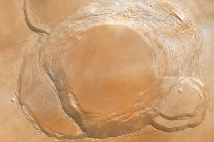
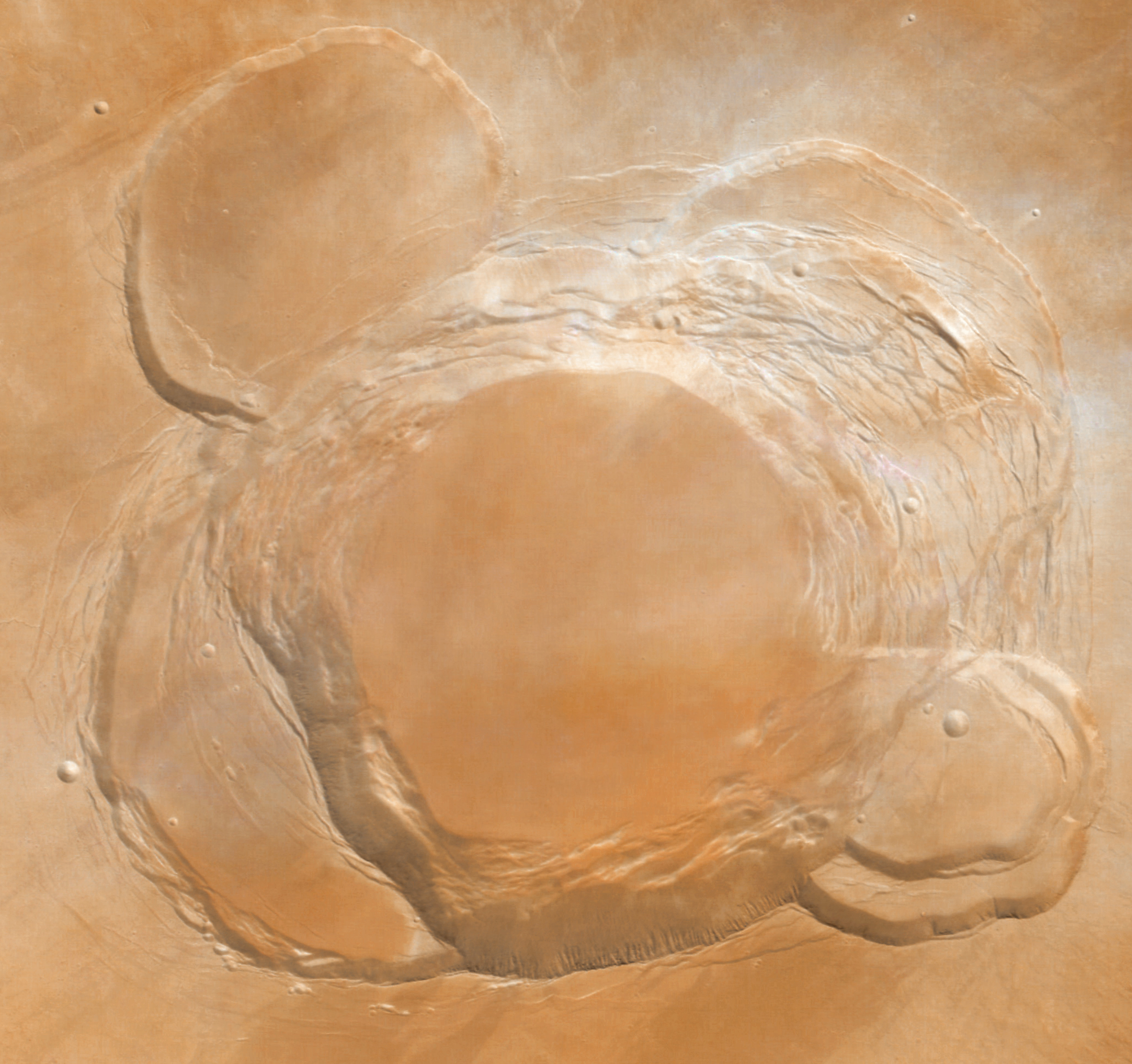
The giant volcanoes of Mars can be clearly seen at the start of the video, visible as a constellation of dark spots on the desert surface. They are followed by a glimpse of the icy South Pole before plunging into the darkness of the planet’s night side. Daylight returns with a soaring ride over the spiral ices of the Martian North Pole. At the very end, Phobos passes far beneath Mars Express, and the tiny moon’s disk can be seen as a dark circle moving from top to bottom.
The images used to generate this video, 600 in total, were acquired by the Visual Monitoring Camera (VMC) during the 8194th orbit on May 27, 2010, between 02:00 and 09:00 UTC. This is the first such video ever generated from a spacecraft orbiting Mars.
The VMC is a low-resolution, non-scientific digital camera originally used only to confirm the separation of the (later lost) Beagle 2 lander from Mars Express in 2003.
YouTube – Mars Express orbiting the Red Planet
See also:
ESA Portal – Focus On – Astronaut’s eye view: Mars Express orbiting the Red Planet
Fog in Valles Marineris

Dense, low lying fog in Valles Marineris.
Image of the western part of Valles Marineris, taken by the High Resolution Stereo Camera (HRSC) on board ESA’s Mars Express spacecraft on May 25, 2004, showing dense ground fog.
This image has not yet been officially released by ESA.
Image Credit: ESA/DLR/FU Berlin (G. Neukum)/astroarts.org
References:
A. Inada et al.: Wavelength Dependency and Angular Effects of Reflectance of Fog in Valles Marineris (PDF; 1.7 MB)
A. Inada et al.: Dust Haze in Valles Marineris observed by HRSC and OMEGA onboard Mars Express (PDF; 1.9 MB)
D. Möhlmann: Adsorption water driven processes on Mars (PDF; 1.7 MB)
offLandslides in Ganges Chasma

Lobes from several enormous landslides are visible along the floor of Ganges Chasma.
This image shows a portion of Ganges Chasma, a several kilometers-deep side canyon at the east end of the Valles Marineris canyon system.
Ganges Chasma slices through almost 5 kilometers of the martian crust and reveals ancient rocks and layers in the walls of the canyons that would otherwise be unseen. Lobes from several enormous landslides are visible along the floor of the canyon. Material in a landslide off the north wall of the canyon flowed more than 17 kilometers across the canyon floor, eventually coming to rest atop an older landslide from the south wall, that had travelled nearly as far.
Landslides have very characteristic morphologies on Earth, which they also display on Mars. These morphologies include a distinctive escarpment at the uppermost part of the landslide, called a head scarp, a down-dropped block of material below that escarpment that dropped almost vertically, and a deposit of debris that moved away from the escarpment at high speed.
The image was taken by the High Resolution Stereo Camera (HRSC) on board ESA’s Mars Express spacecraft and has not yet been officially released by ESA.
Image Credit: ESA/DLR/FU Berlin (G. Neukum)/astroarts.org

Perspective view of landslide features
in Ganges Chasma.
Perspective view of Ganges Chasma, looking east.
The vertical exaggeration is 2.
Image Credit: ESA/DLR/FU Berlin (G. Neukum)/astroarts.org
Further reading:
W. J. Burns – Chapter 4: Landslide Features and Their Relative Ages (PDF; 333 KB)
Arsia Mons

Collapse features on the southern flank of
the giant shield volcano Arsia Mons.
This colour composite from infrared, green and blue channel images shows a zone of collapse features on the southern flank of the giant shield volcano Arsia Mons. The total height difference in the land surfaces in this scene is about 7 kilometers, and some individual collapse pits have a depth of more than 2 kilometers. The pits probably formed when lava erupted from the side of Arsia Mons. When lava, or molten rock, finds its way to the surface, it produces several veins and chambers. These slowly empty as the lava erupts and runs down the volcano flanks. Some of the lava reaching the surface cools down and becomes solid, often building a roof over the emptied chamber. The resulting voids collapse due to the weight of the overlying material. At several places, the walls of the pits have been modified by later landslides. The overall trend of the collapse zone runs from the south-west to the north-east, following exactly a giant zone of crustal weakness in the Tharsis region, along which the three large Tharsis volcanoes are aligned. Arsia Mons is the southernmost of these volcanoes. It is 435 kilometers in diameter, almost 20 kilometers high, and the summit caldera is 116 kilometers wide.
The images that were used to create this colour composite were taken on April 2, 2004, by the High Resolution Stereo Camera (HRSC) on board ESA’s Mars Express spacecraft. The images were taken from an altitude of 400 kilometers and cover an area of about 80 by 105 kilometers.
The colour composite has not yet been officially released by ESA.
Image Credit: ESA/DLR/FU Berlin (G. Neukum)/astroarts.org
offAscraeus Mons caldera

The summit of Ascraeus Mons.
Ascraeus Mons is the northernmost of three shield volcanoes (known as the Tharsis Montes) near the equator of Mars. Its complex caldera (volcanic crater) is composed of several discrete centers of collapse where the older collapse features are cross-cut by more recent collapse events. The lowermost circular floor preserves the last lava flooding event that followed the last major collapse approximately 100 million years ago. The southern wall of the caldera has at least 3 km of vertical relief with an average slope of at least 26º (from horizontal). The caldera complex truncates several lava flows, indicating that the flows predate the collapse event and that their source areas have been destroyed by the caldera formation.
This image was taken by the High Resolution Stereo Camera (HRSC) on board ESA’s Mars Express spacecraft and has not yet been officially released by ESA.
Image Credit: ESA/DLR/FU Berlin (G. Neukum)/astroarts.org

The complex caldera at the summit of
Ascraeus Mons.
This vertical view shows the complex caldera at the summit of Ascraeus Mons. North is at the top.
Image Credit: ESA/DLR/FU Berlin (G. Neukum)/astroarts.org

Perspective view of the caldera at the summit of
Ascraeus Mons.
This perspective view shows the complex caldera of Ascraeus Mons.
The vertical exaggeration is 1.5. North is up.
Image Credit: ESA/DLR/FU Berlin (G. Neukum)/astroarts.org
References:
G. Neukum et al.: Recent and episodic volcanic and glacial activity on Mars revealed by the HRSC (PDF; 856 KB)
